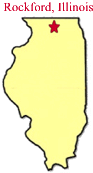
Getting There
LIB is located along the Kishwaukee River west of
Belvidere. The LIB entrance is located 2.5 miles west of Belvidere on
Newburg Road.
Natural Considerations
This area
lies on the southeastern bank of the Kishwaukee River and host flora and fauna typical of a
northern Illinois river bottom. Silver maple, sycamore, and willow trees
dominate lowlands adjacent to the river. These species are adapted to
withstand seasonal flooding. Low areas are dotted with wetlands which
provide ideal habitat for aquatic species, including turtles, frogs, and
beaver. Species of birds, including waterfowl and wading birds frequent
the marsh. Warblers utilize the area in the spring to rest and refuel
before continuing their journey north.
History
For
thousands of years, the Kishwaukee River was used by the Native Americans to
transport goods for trade. The name Kishwaukee is derived from the
Potowatomi word meaning "river of the sycamore". Potowatomi
Indians utilized large sycamore trees found in the valley for dugout canoes.
The river also designates the northern most natural range of the sycamores.
In most
recent history, the area was used for agricultural purposes until the 1970's
when it was acquired by the Conservation District.
Activities and Facilities
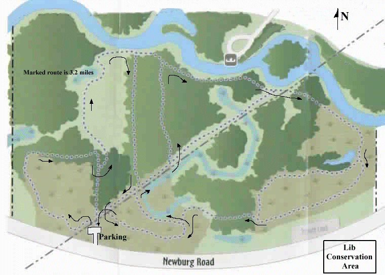
Hiking trail
and cross country skiing.